
Walk a Peachtree City Street
Ownership is the firmest public starting point for a Peachtree City street directory search. Fayette County links an address to a parcel card, map polygon, deed references, and a legal description. Occupancy takes separate proof. A homestead indicator and matching tax-mailing and situs addresses may support owner occupancy, but each fact is dated and none identifies every person in the home.
- Enter the house number and street in the Fayette qPublic property search. Record the situs address, parcel number, owner, and legal description.
- Open the GIS map and zoom to street scale. Click each parcel instead of assuming visual proximity means the same subdivision.
- Compare mailing and situs addresses. Note the sale date, deed book and page, and any homestead indication.
- Use the deed reference in the Fayette property index. Match the legal description, not just the owner's name.
- Add permit reports or a lawfully obtained voter file when the question requires address-based evidence. Keep the production date.
The sequence matters. A street spelling may change or omit a suffix, while the parcel ID and legal description keep the same tract connected across systems. Search one exact address first, then broaden to the street name if qPublic returns no match.
Keep a small search log as the street directory grows. For each house, note the standardized address, parcel ID, owner string, mailing address, legal description, deed reference, and the date the card was viewed. That prevents a sale posted later from silently changing the result. It also separates facts copied from the assessor from conclusions drawn after comparing other records. When two parcels share a similar street label, the map shape and subdivision lot settle which card belongs in the row.
Peachtree City Address Search Fields
The Fayette Board of Tax Assessors offers four routes into its Peachtree City street directory data. Location Address is best for a known house. Owner Name works when the address is uncertain. Parcel Number is the clean handoff between card and map, while Legal Description can recover a subdivision lot when an old street label fails.
| qPublic field | Input | Best use |
|---|---|---|
| Owner Name | Surname, person, or business string | Find parcels held by a known owner |
| Location Address | Number and street; omit suffix to broaden | Build a by-address result |
| Parcel Number | County parcel identifier | Open one exact mapped parcel |
| Legal Description | Subdivision, lot, or description fragment | Bridge older plats and current streets |
- Parcel
- A mapped unit of land with its own county identifier.
- Situs address
- The physical location of the parcel, which may differ from the owner's tax mailing address.
- Plat
- A recorded map showing a subdivision, lots, blocks, easements, and survey detail.
- Criss-cross directory
- A published directory arranged by street and house number rather than surname.
Read the parcel card with care. Typical fields include acreage, values, sales, deed book and page, building facts, exemptions, and a sketch. Values and mailing addresses can change. Save the access date and verify key details against the deed or assessor.
Address searches also fail for small reasons. qPublic may store a road suffix differently, omit punctuation, or place a unit under a parent parcel. Begin with the number and core street name, then remove the suffix if the exact query has no result. Search the subdivision or lot through Legal Description when a newer street label is absent. If a condominium or common tract appears, open the linked cards instead of treating the first polygon as the whole street. These steps preserve the Peachtree City street directory's address focus without turning a map label into an unsupported claim about a household.
Address tip. The tax mailing address is a strong owner-location clue, but the situs address is the property being searched.
Map Peachtree City Street Parcels
The Fayette qPublic GIS map turns a list into a street-by-street view. Search the target, zoom until parcel lines and street labels are clear, click a polygon, and follow the linked card. Nearby parcel IDs can then be opened one at a time. Controls commonly include zoom, identify, layers, measure, and print, although browser state controls which layers appear.
Use the Peachtree City maps hub when zoning, land use, or municipal context matters. Its resources include tax GIS, interactive zoning, archived zoning, land-use, and undeveloped-parcel maps. A mailing line alone does not prove city jurisdiction.
The official map hub is shown below for a direct look at the city's address resources.

The city map choices help distinguish parcel, zoning, and postal facts.
Peachtree City Street Record Layers
No single address record proves who lives there now. Each source in the street directory has a narrower purpose, and the parcel number or legal description ties the ownership sources together.
| Address record | Official keeper | Evidence | Access route |
|---|---|---|---|
| Parcel card | Fayette Tax Assessor | Owner, mailing and situs addresses, sale facts | Free qPublic; office fallback |
| Parcel geometry | Fayette GIS | Lot shape and mapped context | Free GIS viewer |
| Deed or plat | Fayette Clerk | Grantor, grantee, legal description | Index, counter, or eCertification |
| Permit and code file | Peachtree City | Work, dates, applicant or contractor | Reports or city request |
| Municipal voter list | Georgia Secretary of State | Registered names and residence fields | Paid electronic list |
The Fayette Clerk's online property index is informational. Its exact web start year is not published. Older or missing material moves to inspection at One Center Drive in Fayetteville, weekdays from 9 a.m. to 5 p.m., or to Georgia Archives microfilm cards. Certified copies use GSCCCA eCertification.
A deed supplies the parties to a transfer and the land conveyed. It does not list everyone who stayed in the home. Read its recording date, document type, grantor, grantee, book and page, and legal-description reference. If an image is unavailable, ask the clerk for inspection or a copy. Regular copies are listed at $1 per page prepaid; unassisted counter copies are $.50 per page, with separate charges for help, printouts, delivery, and seals. Quote an instrument or book/page when ordering so staff can identify the existing record without having to create a custom street report.
Peachtree City Permits by Address
Permit and planning records date changes that the ownership roll cannot explain. Peachtree City publishes monthly permit reports for 2021 forward and directs researchers to request archived reports from before 2021. A permit may identify work, applicant, contractor, date, and status. It does not prove residence.
The city's permit resource shows the current route.
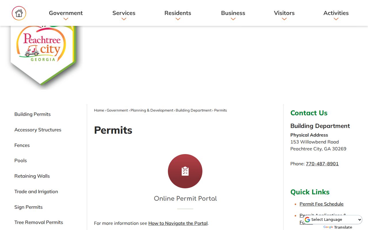
The split between recent reports and requested older files makes the search date essential.
For zoning, occupancy certificates, and code history, use Planning and Zoning.
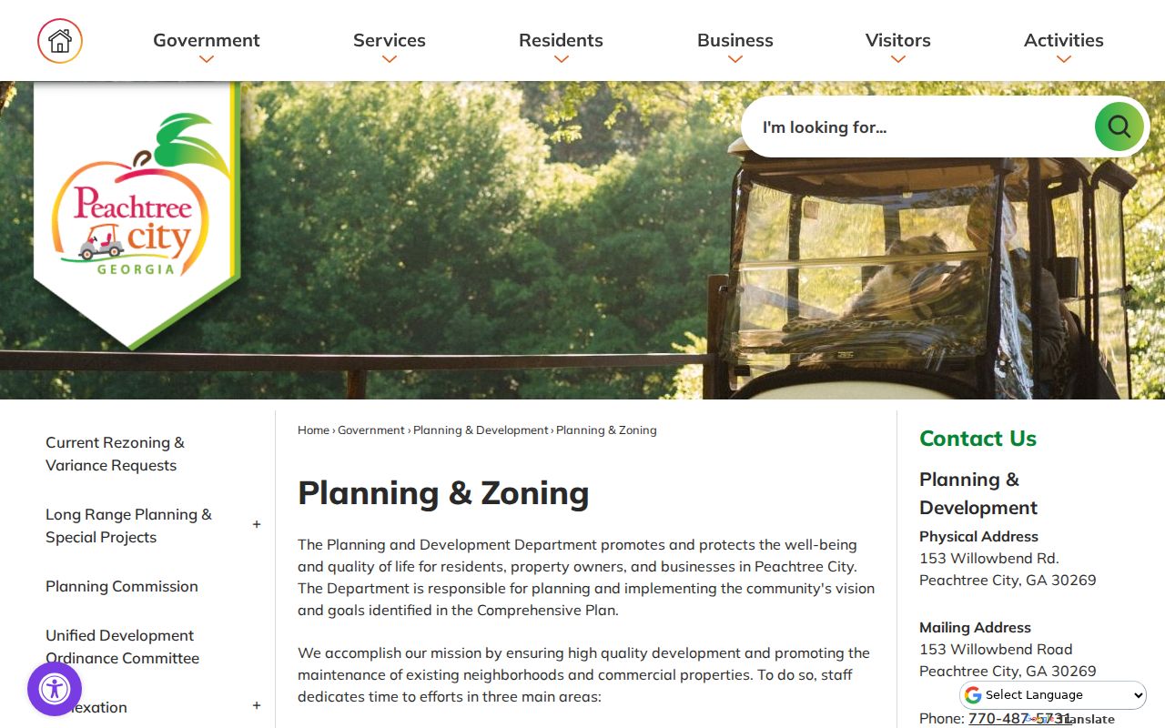
Pair a planning result with the parcel card so the address, lot, and legal parcel match.
Peachtree City Voters by Street
Georgia My Voter Page is a one-person lookup, not a public street browser. The sortable route is an official voter-list product. Since July 2024, a municipal voter list costs $65, while limited precinct products begin at $35. Delivery is electronic and current processing is about two weeks.
Files can include names and addresses, but omit phone numbers, birth dates, Social Security numbers, and driver's-license numbers. VoteSafe protects qualifying addresses. Participation history never shows ballot choices. Commercial use is a misdemeanor under O.C.G.A. § 21-2-601.
The municipal file is one dated civic roll, not proof that a voter remains at the address today. Compare it with the parcel card only for the question each can answer. A matching name may support owner occupancy; a different name may reflect a household member, a stale registration, or another lawful circumstance. Do not fill gaps with guesses. Fayette election-record requests are routed to the Elections Department through the county's open-records process when the standard list product does not fit an existing record request.
Can MVP list a whole block? No. Use the Secretary of State order process, keep the production date, and sort the lawful file by residence address.
Peachtree City Streets After 1959
Peachtree City was chartered on March 9, 1959, after developers assembled more than 12,000 acres. Streets appeared in phases around Aberdeen, Braelinn, Glenloch, Kedron, and Wilksmoor. Village names are useful map terms, but they are not separate towns or ZIP codes.
Older land may have no current street address. Follow the plat back to the land district and lot, then use Fayette deeds, tax digests, and the census. No verified citywide renumbering was found, and no authoritative Peachtree City Sanborn set was located. Plats, aerials, permits, zoning maps, and developer files are sound substitutes.
Early deeds may name a development corporation rather than a household. The legal description carries the tract through that corporate phase until later address sources name people.
Note: A current street can be far younger than the land beneath it, so keep the legal parcel identity constant.
Limits of Peachtree City Street Records
A parcel card identifies title, not a whole household. Public systems do not supply dependable renter, child, guest, or utility-customer lists. Motor-vehicle addresses are restricted. A reverse directory shows only the listing printed in that edition. No authoritative local year run is posted online, so confirm holdings through the Joel Cowan History Room or PINES.
The strongest result is modest and dated: a named owner, voter, permit party, or subscriber connected to an address at a point in time. Cross-check two independent sources before treating it as current.
Some gaps are expected. A protected voter address, an unlisted phone subscriber, a deed held by a trust, or a permit filed under a contractor can all break a name chain. None proves that the property was empty. Mark the gap and move to the next lawful source. The street directory should show what the public record supports, including uncertainty, rather than fill a blank with an occupant inferred from nearby parcels.
Georgia's Open Records Act gives access to existing public records, but it does not require an office to compile a new street directory. A focused request should name the address, record type, and date span. Peachtree City accepts city requests through its published records process, while county departments route requests by custodian. If records need search or redaction, the office may provide a cost estimate and timetable. This fallback is most useful for older permit or code material that does not appear in the current download.
Lawful use. Use Peachtree City address records for family history, property research, and civic curiosity. Georgia law prohibits stalking, threats, and harassing communications.